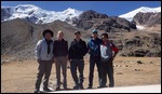
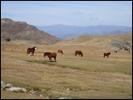
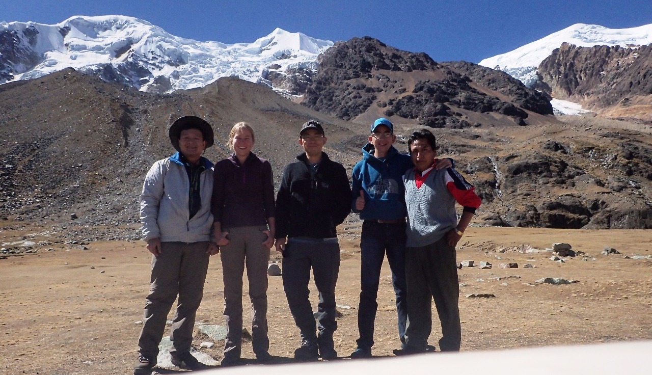
We headed out to our four-day expedition to Mount Illimani, with Enrique as our driver, Ricardo as camp cook, and Rachel as our mountain guide. This is a longer drive to the trailhead located southeast of La Paz, via the scenic Palca canyon route. Part of the dirt road was under major reconstruction and looked like it would become a well-graded highway soon. This was indeed a beautiful drive through rugged country, with kaleidoscopic colors on the mineral-rich mountain slopes, twists and turns that yield surprising vistas, ice-encrusted streams, simple stacked-stone dwellings, and roaming herds of cute llamas and alpacas. The dirt road became extremely narrow, winding, and rugged, sometimes forcing Enrique to use all his maneuvering skill to get our jeep to squeeze through.
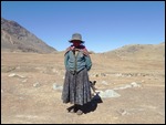
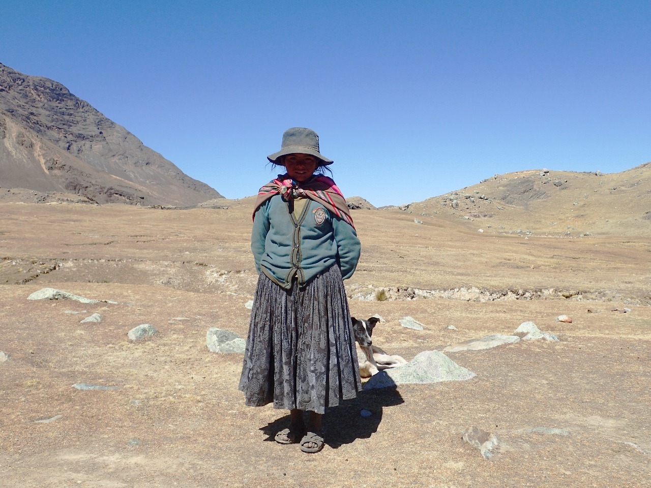
Enrique reported that the road to the base camp recently became passable due to road work sponsored by the recent expedition headed by Jeff and the Swiss scientists. I welcomed the change because it eliminated our hike on the first day from Pinaya village to the base camp -- an elevation gain of 2000 feet. This also eliminated the need for a train of burros to carry our gear to the base camp. However, a side effect was that communication with our designated porters in Pinaya broke down since we didn't pass through the village as expected. To arrange for porters it was decided that Ricardo would make the trek to Pinaya and back that evening. Ricardo is Aymara and could speak the language of local villagers.
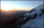
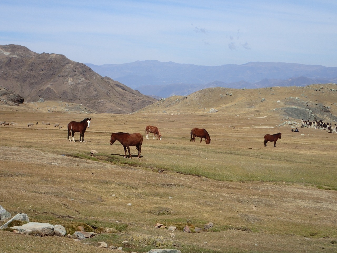
The base camp is at 4500 meters elevation (14,700 feet). It is a large meadow just below the giant hulk of Mount Illimani, where llamas, horses, and sheep that belong to local Aymara villagers graze. The toilet situation was decent but not as luxurious as the Condoriri base camp. Since we arrived at midday, there was time to kill so I ventured off to see nearby areas on foot. I hiked up a small hill, came across a large herd of llamas, crossed an icy glacial stream, and documented a washed out dirt road with my camera. This helped inform Enrique later that the road beyond the base camp was not passable.
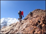
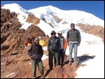
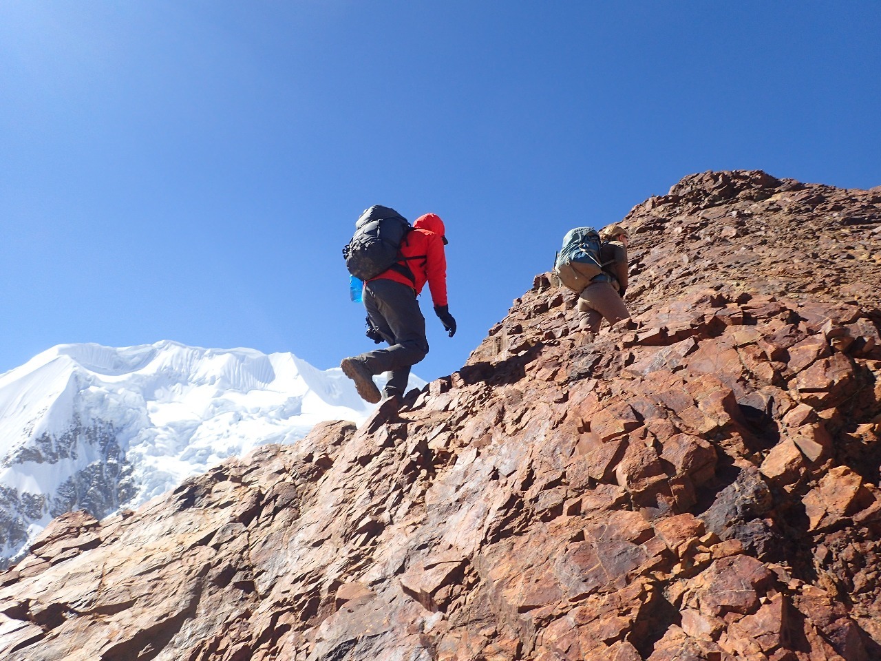
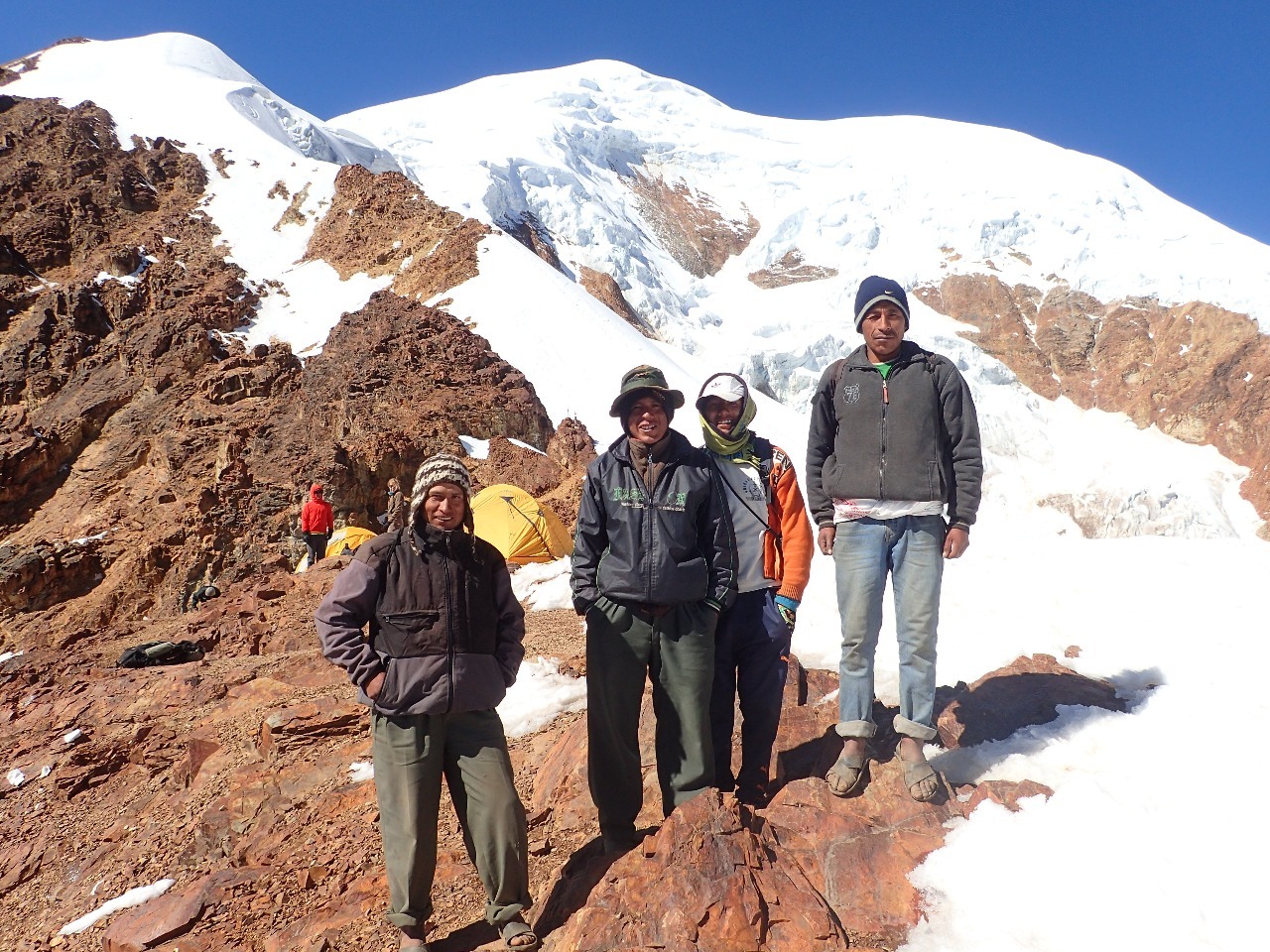
The next morning we headed out to hike to the high camp at 5550 meters (18,200 feet). Rachel expected the hike to take 4-5 hours to gain 3500 feet elevation, I predicted 6-7 hours. There were quite a bit of slab scrambling on the hike, this made it necessary for human porters instead of burros to carry stuff between camps. Our four porters from Pinaya started much later than us but caught up near the high camp with our gear bags. The hike was a bit challenging for me due to the altitude, I took breaks more frequently than Rachel and Mike. They could have made it to the camp 1-2 hours earlier but Rachel insisted on staying together with me. At lunch break we met an ecstatic young man from Belgium with one guide coming down from the summit. His name is Matthias, very happy after reaching the highest summit of his 3 month tour of the Andes Mountains.
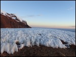
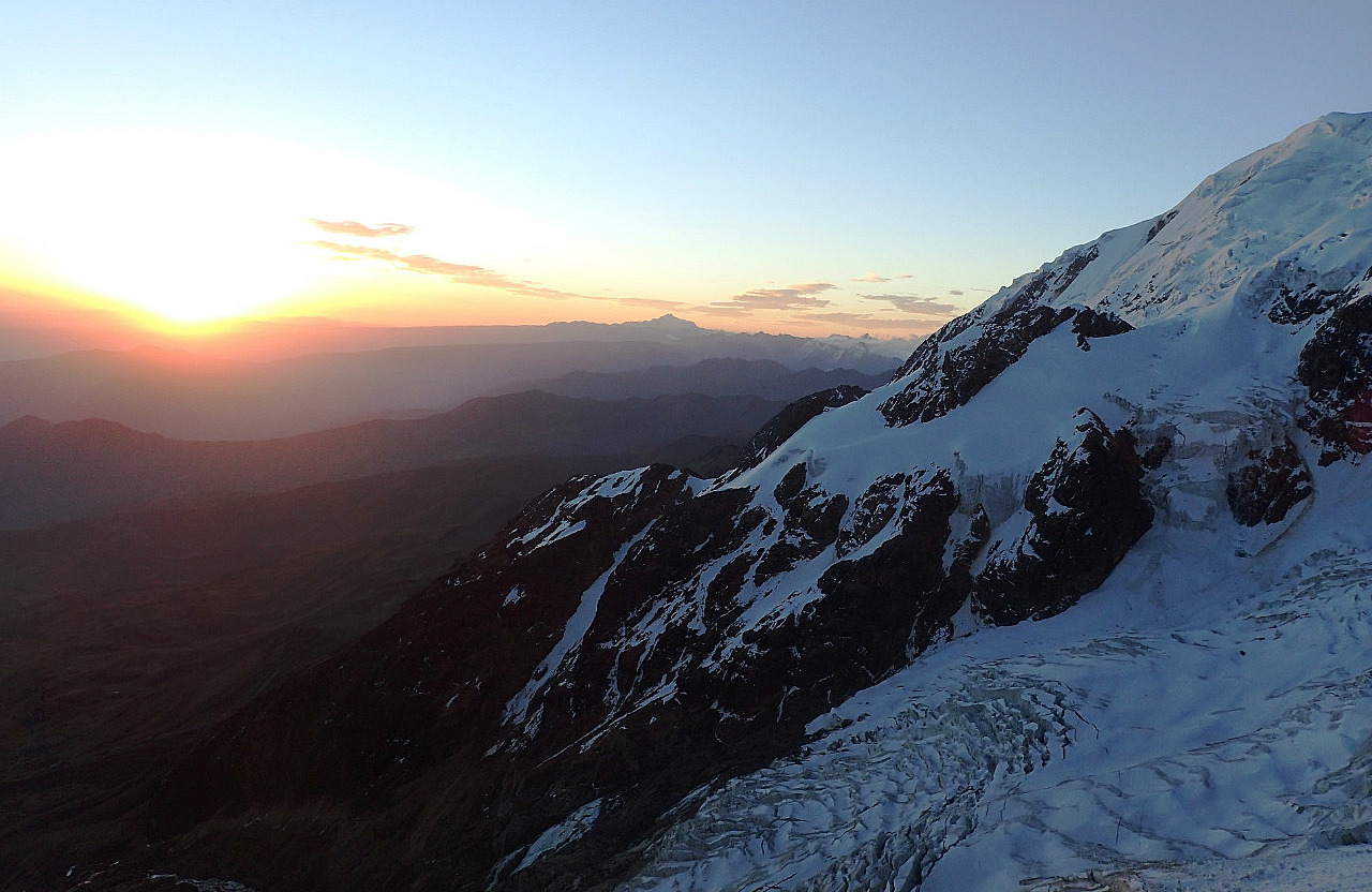
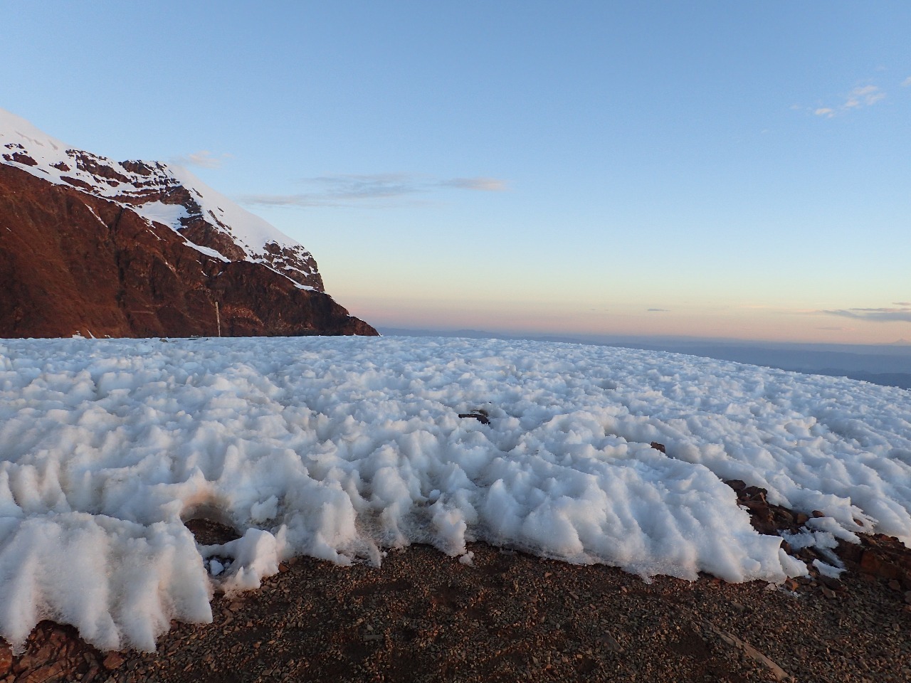
It took about 5 hours of hiking to reach high camp. The camp is a precarious perch mostly covered by snow. Our party took basically all the flat space not covered by snow since we got there first. The people who came later had to settle for marginal, sloping camp sites. Toilet situation was horrible -- I won't mention details. It was very cold when windy, but the winds died down as dusk approached. The next morning we got up at 1 am as planned, had a light breakfast of toast with butter, then put on all the gear for the summit climb. This was the first time I put on my mountaineering boots during the whole trip, I was a bit unfamiliar with how tight I should tight them. This turned out to be a problem -- I had to turn back after a few minutes of walking on fairly level snow so that I could put on a second pair of socks to make my boots tighter.
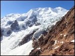
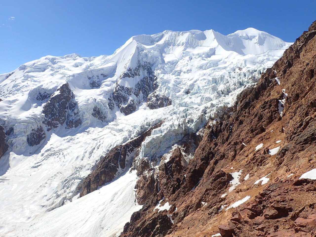
The three of us were roped up, Rachel in front, me in the middle since I was the slower climber, then Mike at the back. This was the same as how we did it two years ago summitting Mont Blanc in France. On Mont Blanc there was a continuous level track that lead uphill in a zig-zag track. Here the climb up was on shallow steps in hard snow, steps that were usually slanted at about 20 to 30 degree angle. I did not feel completely comfortable climbing up these sloping steps with crampons. Rachel tried to teach me better technique, but at one steeper section I stumbled to the ground and she had to keep me safe with the rope. Mike was much more used to this snow condition - he's experienced it on Pequeno Alpamayo a few days before, and he was in much better shape than I. The altitude also sapped my energy, so I stopped for a few seconds every 10-20 steps whenever the uphill slope was 30-40 degrees. I felt my muscles was asking for a lot more oxygen than I could provide.
After climbing for 3 hours, Rachel told us that our progress was too slow and that we would not be able to make the summit. We were only a third of the way in terms of elevation gain, at this speed we would probably take 10 hours to reach summit. This would make our descent more dangerous due to potential exhaustion, and softening of the snow under the sun also would create poor traction. From my past experience I fully understand what Rachel meant, because descending a technical route is often the most dangerous part of a climb. I proposed to turn around. Mike was extremely reluctant, he should be since he could have made the summit based on his fitness level. However, since I could not descend safely without our guide, Mike had no choice but to descend with me. I felt bad for Mike. It took a little over an hour to descend to camp.
Spirits were low during the day when we descended to the base camp. We resolved to come back again to finish our unfinished business. Late morning of the fourth day, Enrique's jeep showed up eventually -- he started out from La Paz at 5 am. On our way back to the city, we had a farewell lunch at a barbecue restaurant and showed our gratitude to Rachel, Ricardo, and Enrique. I made wonderful friends on this trip despite not reaching our goal, and developed a deep appreciation of this unique, authentic, and glorious country. I will be back soon.